
Campgrounds
352 campgrounds
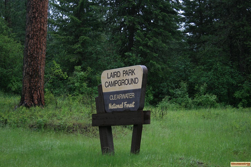
Laird Park Campground
Laird Park Campground in the Clearwater National Forest is ideal for that long weekend getaway with the family. Ther...
Lake Cleveland Campground
Lake Cleveland sits at 8,150 feet elevation, less than 1/2 mile long with Mt Harrison towering a thousand feet above ...
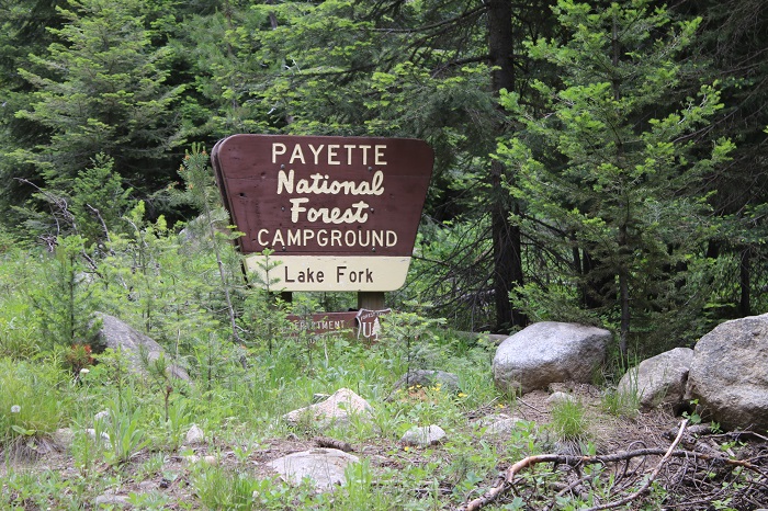
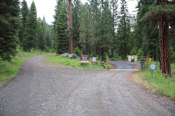
Lake Fork Campground
Lake Fork Campground is located on the west bank where the North Fork of Lake Fork and the South Fork of Lake Fork jo...
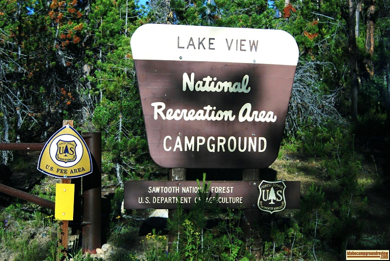
Lakeview Campground
Lakeview Campground is on Stanley Lake in the Sawtooth National Recreation Area. In my opinion, the northern end of t...
Last Chance Campground
Last Chance Campground is located on the west shore of Goose Creek 2.2 miles north of Hwy 55 on Last Chance Rd. The a...
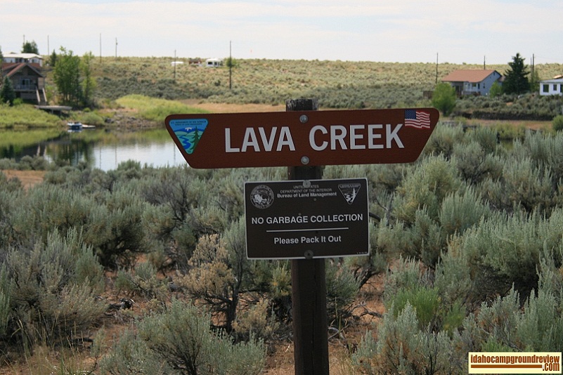
Lava Creek Campground
Lava Creek Campground is located on Magic Reservoir across a bay from West Magic, Idaho. It is along the shore and of...
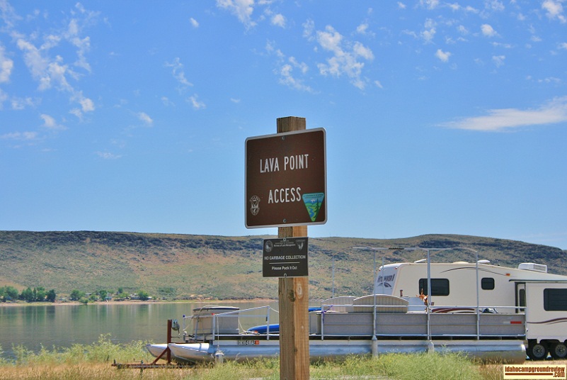
Lava Point Access Campground
Lava Point Access is a fisherman's paradise, or at least it is if that fisherman wants to fish for bass and other war...

Leggett Creek Campground
Leggett Creek Campground is on the South Fork of the Clearwater River east of Grangeville, Idaho. It is situated on a...
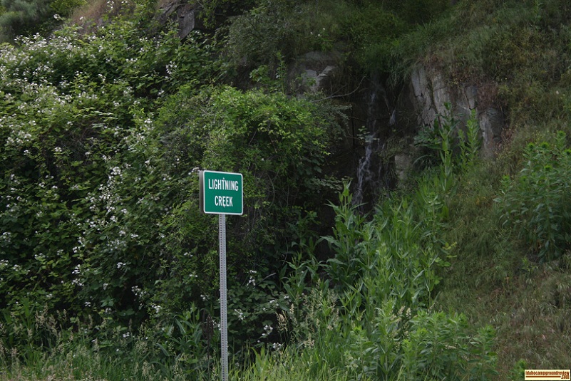
Lightning Creek Sportsman Access
Along the Salmon River, Lightning Creek campground is undeveloped camping at its best. There are no facilities except...
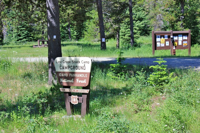
Line Creek Stock Camp
Line Creek Stock Camp is situated along the St Joe River on flat land. The flat is grassy with a few trees scattered ...
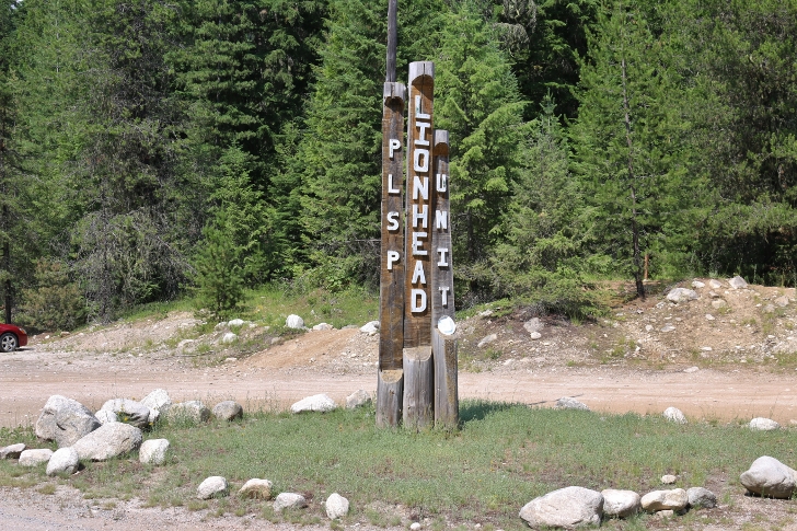
Lionhead Campground
Lionhead Campground is part of Priest Lake State Park and is located on the eastern shore toward the north end of Pri...
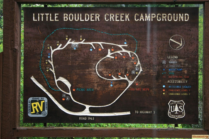
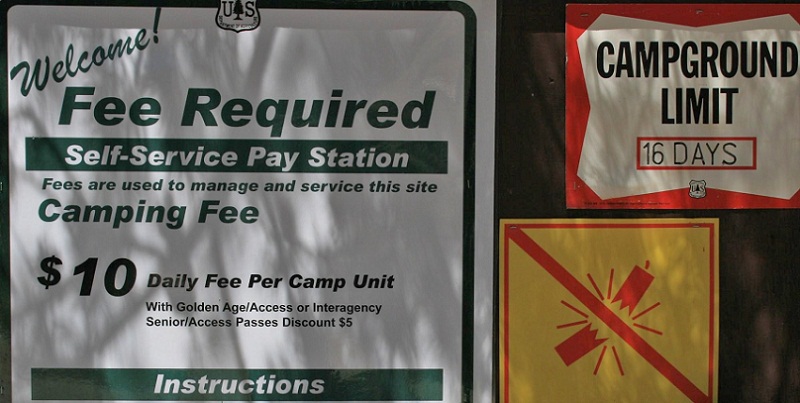
Little Boulder Creek Campground
Little Boulder Creek Campground is located along the Potlatch River, approximately 40 miles east of Moscow. Paved ro...

Little Camas Reservoir
Little Camas Reservoir is just south of Anderson Ranch Dam. It sets in the hills above the dam. The area has gently r...
Little Roaring River Lake Campground
This review was made from the information we observed from our visit on August 30, 2021 and was accurate as of that d...
Little West Fork Campground
Little West Fork Campground is on the West Fork of Morgan Creek. We found it on the map and thought we would find a n...

Little Wilson Creek Campground
Little Wilson Creek Campground is very small with just two sites. It appeared to be undeveloped, no tables and just s...

Locust Park Campground
Locust Campground is basically a large parking area for RV's next to Scout Park along the Snake River just below CJ S...
Lola Creek Campground
Lola Creek Campground is located NW of Stanley, Idaho, about 22 miles on the south bank of Marsh Creek and is surroun...
Louisville State Recreation Area
Louisville State Recreation Area is located on the southern bank of the Platte River in eastern Nebraska. It occupies...
Lower Burnt Corral Recreation Site
Lower Burnt Corral Recreation Site is located in a dry sandy wash on the south side of the boat launch at Burnt Corra...

Lower O'Brien Campground
Lower O'Brien Campground is located right on the edge of the Salmon River. The Salmon River Valley is narrow here wit...
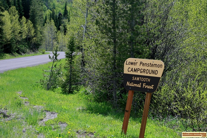
Lower Penstemon Campground
Lower Penstemon Campground, situated along Rock Creek south of Twin Falls, is at 6600 feet elevation. This area has s...
Lowman Fishing Ponds
Lowman Fishing Ponds is a day use area along the North Fork of the Payette River. I have included it as a review beca...
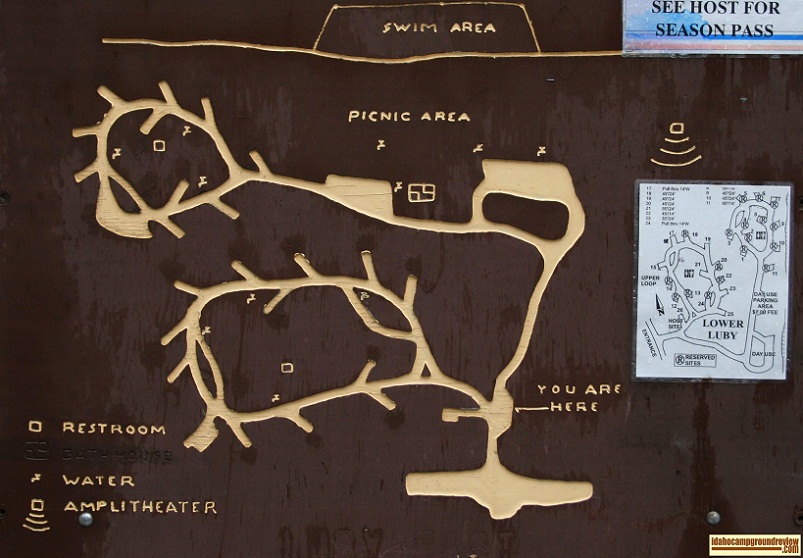
Luby Bay Campground
Luby Bay Campground is divided into Upper Luby Bay Campground and Lower Luby Bay Campground. They are situated on the...